The nautical mile (NM or nmi) is the fundamental unit of distance in maritime and aeronautical navigation. Historically defined as the arc length corresponding to one minute (1/60th of a degree) of latitude along a meridian, it directly ties geographic coordinates to physical distance on sea charts. Today, by international standard adopted in 1929, one international nautical mile is defined as exactly 1,852 meters (approximately 6,076.1 feet or 1.151 statute miles).
Because latitude scales on Mercator projection paper charts represent arc minutes of latitude, sailors can directly measure distances in nautical miles using a pair of dividers against the latitude scale on the side of the chart. One minute of latitude equals one nautical mile.
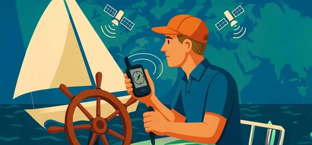
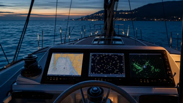
The derived unit for speed at sea is the knot (kn), defined as one nautical mile per hour. For instance, a yacht sailing at 6 knots covers 6 nautical miles in one hour. Distance calculations in passage planning, fuel consumption, and collision avoidance rely entirely on nautical miles and knots rather than kilometers or land miles. In classical sailor lore, milestones were celebrated through traditions such as swallow tattoos, where each swallow traditionally represented 5,000 nautical miles sailed. In modern navigation, electronic systems like GPS and AIS plot coordinates and calculate distances using nautical miles.
Quick answers
What is Nautical Mile?
A unit of distance used in marine and air navigation, defined internationally as exactly 1,852 meters.
What is Nautical Mile used for on a yacht?
Abbreviated as NM, nmi, or M. Speed in knots equals nautical miles per hour. Do not confuse with statute miles (1,609 m).
What topics are related to Nautical Mile?
Sources and verification
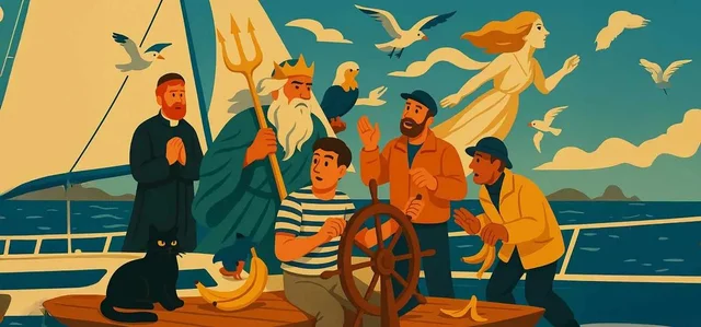
- Navi.training: Sailing Superstitions: From Neptune to the Ban on Bananas On Board
- Navi.training: How GPS Works and the Role of Electronic Navigation in the World of Sailing
- Navi.training: Essential Sailing Maneuvers for Beginners: Tacking and Gybing in Simple Terms
- Wikipedia: Nautical mile · CC BY-SA 4.0 / GFDL
- Navi.training: GPS, AIS та радар. - «Три ока» вашої яхти – чи знаєте ви різницю?
- Navi.training: Морские суеверия: от Нептуна до запрета на бананы на борту
- Navi.training: Как работает GPS, и роль электронной навигации в мире яхтинга
- Wikipedia: Морская миля · CC BY-SA 4.0 / GFDL
- Navi.training: Морські забобони: від Нептуна до заборони бананів на борту
- Navi.training: Як працює GPS та роль електронної навігації у світі яхтингу
- Navi.training: Робота з мотузками на яхті: лебідки та блоки для початківців
- Wikipedia: Морська миля · CC BY-SA 4.0 / GFDL
 32 min to read