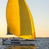
A waypoint is a fundamental unit in electronic marine navigation, defined by precise geographic coordinates (latitude and longitude typically formatted as DD°MM.mmm' under the WGS 84 datum). Unlike aviation reporting points or hiking landmarks, a maritime waypoint serves as a virtual reference coordinate on a digital chartplotter to outline safe legs of a passage, mark turning points, or identify navigation hazards. As noted in Wikipedia's overview of sailing, navigating a vessel relies on structured course planning across chosen bodies of water.
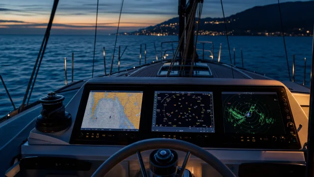
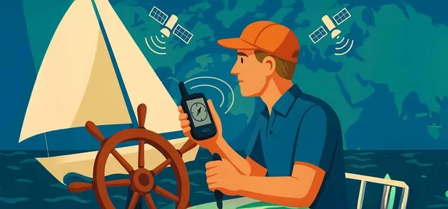
In practical yachting, sequential waypoints form a planned route. The onboard satellite system calculates key parameters: Distance to Waypoint (DTW, measured in nautical miles, NM), Bearing to Waypoint (BTW, in degrees 000°–359°), and Cross Track Error (XTE). When learning how GPS works and the role of electronic navigation, skippers are taught never to place waypoints directly on physical aids to navigation (ATONs) like buoys, to prevent collision risks in low visibility.
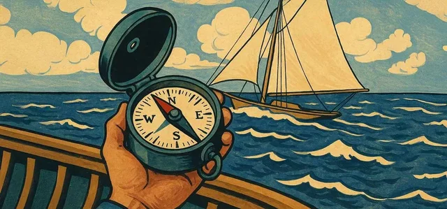
A waypoint is purely mathematical and should not be confused with physical seamarks or optical bearings. Traditional seamanship mandates cross-referencing electronic waypoints with physical observations. Maintaining a visual watch and taking bearings with a compass on a sailboat ensures situational awareness if satellite signals degrade. A specialized dynamic waypoint is the Man Overboard (MOB) mark, triggered instantly during emergencies to log the vessel's location.
Quick answers
What is Waypoint?
A specific geographic location defined by coordinates (latitude and longitude) used in marine electronic navigation to delineate routes, turning points, or hazards.
What is Waypoint used for on a yacht?
Plot waypoints at a safe offset (0.2–0.5 NM) from physical buoys or shoals. Always confirm coordinates match the chart datum (WGS 84).
What topics are related to Waypoint?
Electronic Navigation, AIS, Depth sounder, GPS (Global Positioning System)
Sources and verification
- Navi.training: GPS, AIS та радар. - «Три ока» вашої яхти – чи знаєте ви різницю?
- Navi.training: Как работает GPS, и роль электронной навигации в мире яхтинга
- Navi.training: Як працює GPS та роль електронної навігації у світі яхтингу
- Navi.training: Компас на яхті: Як користуватися морським компасом і для чого він потрібен яхтсменам?
- Navi.training: How GPS Works and the Role of Electronic Navigation in the World of Sailing
- Navi.training: The Compass on a Sailboat: How to Use a Marine Compass and Why Sailors Need It
- Wikipedia: Sailing · CC BY-SA 4.0 / GFDL
 21 min to read