In maritime navigation, GPS (Global Positioning System) refers to the space-based radionavigation system operated by the United States Space Force. Outside nautical terminology, the acronym GPS may denote non-maritime organizations such as the Great Public Schools Association of Queensland, but for mariners, it is the primary electronic positioning standard.
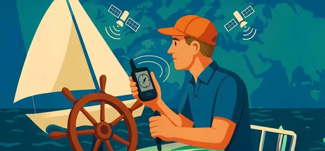
The system calculates a vessel's position by measuring the time delay of radio signals transmitted from a constellation of Earth-orbiting satellites. A minimum of 4 satellite signals is required to compute latitude, longitude, and precise clock bias. Standard marine receivers offer a horizontal accuracy of 2 to 5 meters, which can be improved to sub-meter precision (<1 meter) using Satellite-Based Augmentation Systems (SBAS) or Differential GPS (DGPS).
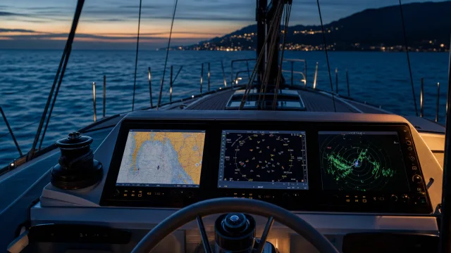
Integrated into modern marine networks via NMEA protocols, the receiver continuously calculates Course Over Ground (COG, measured in true degrees from 000° to 359°) and Speed Over Ground (SOG, expressed in knots, where 1 knot equals 1.852 km/h). Understanding how GPS functions in electronic navigation is essential for skipper decision-making, as COG and SOG represent the true movement across the seabed including current and leeway effects. However, electronic positioning should never fully replace traditional seamanship. Relying solely on satellites exposes the vessel to risks like signal jamming or power failures, making the proper use of the marine compass an indispensable backup for safe navigation.
Quick answers
What is GPS (Global Positioning System)?
A satellite-based radionavigation system providing precise geographic coordinates, speed over ground, and course over ground for vessels worldwide.
What is GPS (Global Positioning System) used for on a yacht?
Used for electronic charting, waypoint navigation, anchor watch alarms, and AIS integration. Always maintain paper chart plotting or magnetic compass verification as fail-safes.
What topics are related to GPS (Global Positioning System)?
Sources and verification
- Navi.training: GPS, AIS та радар. - «Три ока» вашої яхти – чи знаєте ви різницю?
- Navi.training: Как работает GPS, и роль электронной навигации в мире яхтинга
- Navi.training: Як працює GPS та роль електронної навігації у світі яхтингу
- Navi.training: Компас на яхті: Як користуватися морським компасом і для чого він потрібен яхтсменам?
- Navi.training: How GPS Works and the Role of Electronic Navigation in the World of Sailing
- Navi.training: The Compass on a Sailboat: How to Use a Marine Compass and Why Sailors Need It
- Wikipedia: Great Public Schools Association of Queensland · CC BY-SA 4.0 / GFDL
 21 min to read