Latitude (geographical latitude) is the angular distance of a point north or south of the Earth's equator, measured along a meridian. It ranges from 0° at the equator to 90° N (+90°) at the North Pole and 90° S (-90°) at the South Pole. In maritime navigation, geographical latitude must be distinguished from astronomical latitude (which accounts for local gravity anomalies) and ecliptic celestial latitude used in astronomy.
In practical seamanship, latitude provides the foundational scale for measuring distances on nautical charts. By definition, one minute of latitude (1′) equals exactly one nautical mile, which is standardized as 1,852 meters (approx. 6,076 feet). One degree of latitude (1°) comprises 60 minutes and equals 60 nautical miles. Consequently, navigators always use the vertical latitude scale on the side margins of a Mercator projection chart to measure distances with dividers.
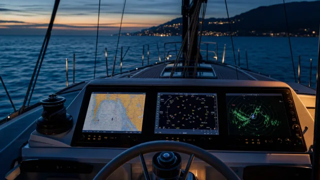
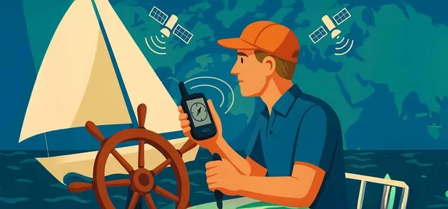
Modern receivers ensure precise positioning where GPS on a sailboat displays latitude in degrees, minutes, and decimal minutes (e.g., 43°30.50′ N). Determining latitude celestial-wise has ancient roots. According to Wikipedia, Arab navigators of the late 9th century invented the kamal—a simple wooden celestial navigation tool—to determine latitude by observing stars, marking the earliest quantitative navigation method.
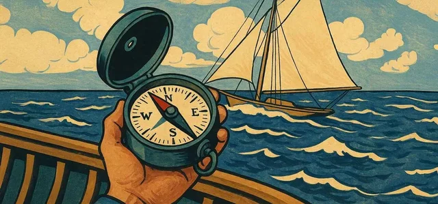
While a traditional marine compass on board provides direction, accurate position plotting requires entering latitude correctly into passage plans. Understanding latitude measurements ensures skippers correctly interpret chart scales and avoid critical errors in route calculation.
Quick answers
What is Latitude?
Geographical latitude is the angular distance of a location north or south of the Earth's equator, expressed in degrees from 0° at the equator to 90° at the poles.
What is Latitude used for on a yacht?
Latitude is always stated before longitude in position reporting. Use only the vertical latitude scale on Mercator charts to measure nautical miles.
What topics are related to Latitude?
Sources and verification
- Navi.training: GPS, AIS та радар. - «Три ока» вашої яхти – чи знаєте ви різницю?
- Navi.training: Как работает GPS, и роль электронной навигации в мире яхтинга
- Navi.training: Як працює GPS та роль електронної навігації у світі яхтингу
- Navi.training: Компас на яхті: Як користуватися морським компасом і для чого він потрібен яхтсменам?
- Navi.training: How GPS Works and the Role of Electronic Navigation in the World of Sailing
- Navi.training: The Compass on a Sailboat: How to Use a Marine Compass and Why Sailors Need It
- Wikipedia: Kamal (navigation) · CC BY-SA 4.0 / GFDL
 21 min to read