A nautical chart is a specialized map designed specifically for marine navigation. Unlike standard land maps (which detail terrestrial topography) or business process charts, a nautical chart focuses on sea features. It accurately represents water depths (soundings in meters, feet, or fathoms where 1 fathom equals 1.8288 meters or 6 feet), seabed composition, coastline features, hazards, and navigational aids like buoys and lighthouses.
Distance on a nautical chart is measured in nautical miles (NM), where 1 NM equals exactly 1,852 meters (or 1 minute of latitude). Charts primarily use Mercator projection, allowing mariners to plot straight-line courses (rhumb lines). Scales vary depending on purpose: harbor charts (1:5,000 to 1:20,000) provide fine detail for confined waters, while coastal and ocean charts (1:100,000 to 1:1,000,000) cover vast sea areas.
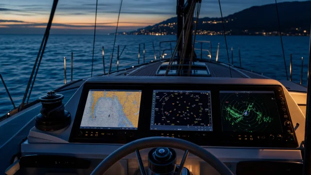
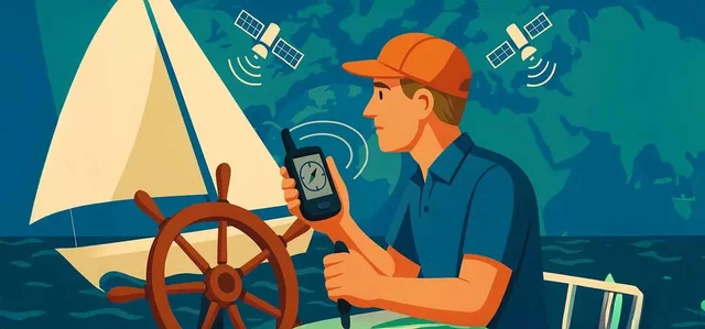
In modern seamanship, electronic navigational charts (ENCs) integrated into chartplotters dominate daily use. However, paper charts remain essential backups. Master modern tools alongside traditional skills by learning how GPS works and the role of electronic navigation. Furthermore, understanding basic map symbols is a fundamental part of mastering essential yachting terminology before taking command of any vessel.
Quick answers
What is Nautical chart?
A graphic representation of a maritime area and adjacent coastal regions, providing detailed information on water depths, hazards, channels, and aids to navigation.
What is Nautical chart used for on a yacht?
Essential for passage planning and dead reckoning. Mariners must keep paper and digital charts updated via Notices to Mariners.
What topics are related to Nautical chart?
Sources and verification
- Navi.training: GPS, AIS та радар. - «Три ока» вашої яхти – чи знаєте ви різницю?
- Navi.training: Как работает GPS, и роль электронной навигации в мире яхтинга
- Navi.training: Як працює GPS та роль електронної навігації у світі яхтингу
- Navi.training: Компас на яхті: Як користуватися морським компасом і для чого він потрібен яхтсменам?
- Navi.training: How GPS Works and the Role of Electronic Navigation in the World of Sailing
- Navi.training: Yachting terminology for Dummies, 77 words you need to know before traveling on a yacht.
- Wikipedia: Glossary of nautical terms (A–L) · CC BY-SA 4.0 / GFDL
 21 min to read